-Duluth was named for the first known European expolorer to the area: Daniel Grancelon, Sieur Du Luth
-The very first people in the area are known as The Copper People because they mined copper for tools
-Ojibwi tribe called Duluth Onigamiinsing or Place by the pongunt lake, because the lake smelled from algea difting in.
-In 1883 Duluth had more millionairies per captiata than anyother place in the world, because of shipping
-Lake Superior is 1300ft deep, but 602ft above sea level.
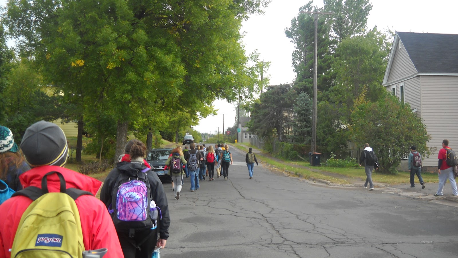
After our little history lesson we went down the hill, mapping out our paces so we could calculate the slope grade later, and headed into Canal Park.
Here the instructors gave us our three projects for this afternoon and freed us for lunch and work. Our projects were:
-Draw the Aerial Lift Bridge in Ink
-Do a Plan view of Canal Park
-Do a section sketch from Skyview Parkway to the lake
Starting our day with a hike up the hil

View of Lake Superior from top of hill

Molded brick wall along Canal Park Drive

Touring Canal Park

Interacting with fountain at Canal Park
After the laydowns we celebrated Jim's birthday and scattered for supper and plant studying!
No comments:
Post a Comment